Hiking from Makai in Cap Cana: a forest walk close to home, caves to the north and a mountain worth the journey
The coast around Punta Cana is low limestone country, so hiking here is less about summits than about what lies under and beyond the flat ground: a cenote in the forest, caves carved by water, and, a long drive inland, a true mountain. For an owner at Makai Residences in Cap Cana, the outings fall into three sizes. A short forest walk sits about 3.5 miles away by road. The caves of the Los Haitises area make a full day to the north. Pico Duarte, at about 10,174 ft by a 2021 survey, is a trip of several days. This guide sets out what each one asks of you, when to go and what to pack.
What does hiking look like from Cap Cana?
Different from a mountain holiday. The south-east of the island is a limestone plain of dry forest, scrub and beach, and the walking that suits it is short, shaded where possible and usually ends at water: a freshwater pool, a cave mouth, a lagoon. The ground only rises in earnest far inland, in the Cordillera Central, where the climb to Pico Duarte starts.
That gives a Makai owner three kinds of outing to plan around. There is the walk you can fit into a morning without leaving Cap Cana. There is the full day north toward Los Haitises, where the forest is wetter and the trails lead into caves. And there is the expedition, a multi-day climb that needs a guide, a warm layer and a free week. The sections below take them in that order.
Where can you walk without leaving Cap Cana?
The nearest trail with a destination at the end is the path to Hoyo Azul, a cenote inside a paid adventure park, about 3.5 miles from Makai by road. The walk in is the point of the visit: a suspension bridge, then a forest trail past an orchid garden, roughly half an hour on foot, ending at a spring-fed pool about 45 ft deep at the foot of a limestone cliff about 246 ft high. Swimmers either take the steps down or jump.
Because the park sets the hours and the ticket, treat it as a planned half-day rather than a casual stroll. For everyday walking, the beach is closer still: Playa Caracol is about a 1,600 ft walk from the buildings, and an early walk along the sand is the easiest way to keep your legs ready for the longer days below.
Why make the trip to Los Haitises?
For a landscape found nowhere else on this coast. Los Haitises National Park, established in 1976 and enlarged in 1996, covers about 319 square miles of karst: tightly packed conical limestone hills with sinkholes between them, a shoreline of red and white mangrove, and caverns hollowed out by water. Inside many of those caverns, Indigenous people left pictographs and petroglyphs; an encyclopedia entry on the park notes that who made them is not settled, and they may predate the Taíno.
Most visitors arrive by sea, and the usual gateway from the east is Sabana de la Mar, about 95 miles from Makai by road, which has a visitors' centre and, since 2000, local ecological guides. A day there combines a boat ride through the mangroves with short walks on land to the caves. Expect a wetter forest than Cap Cana's: the same entry gives annual rainfall of about 75 to 79 inches, so a light rain layer belongs in the bag in any month.
Is the Fun Fun cave a hike or a caving trip?
Both, and it is the most physical day out on this page. The cave lies near Hato Mayor, on the edge of the Los Haitises area, about 90 miles from Makai by road to the area; the last stretch is not driven. One cave directory describes the approach as a river crossing on horseback, then a hike of about 1.2 miles through rain forest with slippery descents, before an abseil of about 59 ft down a wide shaft into the cave itself.
Underground, the tour takes about 3 hours, and the whole excursion fills a day. The directory says the operator supplies a full set of caving gear, and that participants should be fit, happy to climb and untroubled by darkness, height or insects. Go with a guided group, wear shoes you do not mind soaking, and keep the rest of that day free.
What does climbing Pico Duarte involve?
Pico Duarte is a different order of hike. A 2021 survey put its summit at about 10,174 ft; the official Dominican figure is about 10,128 ft. The usual approach starts at La Ciénaga, near Jarabacoa, about 228 miles from Makai by road, so the drive alone argues for a night in the mountains before you begin. From there the summit trail runs 14.4 miles with about 6,486 ft of elevation change.
One trail directory lays out the common plan as 3 days: up to the huts at La Compartición on the first day, to the summit and back to the huts on the second, and down to La Ciénaga on the third. The same directory says you may not enter the park without a local guide, and that the guide will almost certainly ask you to hire mules for the gear. Rules and rates change, so confirm both at the park office in La Ciénaga before you commit.
When does each hike fit the calendar?
For the lowland walks, winter is kindest. Long-term averages from the national weather service's Punta Cana station put mean daily highs between about 81.7 F and 82.6 F from December to March, with February and March averaging about 2.1 inches of rain each, against a mean high of 87.6 F in September. June through November is hurricane season in the Atlantic, so in those months check the forecast before any boat trip to Los Haitises and any cave with a river at its entrance.
The mountain runs on its own clock. A mountaineer's 2025 account names December to February as the main trekking season, and an encyclopedia entry counts about 1,000 hikers in each of December and January, against about 10 to 15 a day in the quieter months. The same entry warns that winter nights near the summit drop below freezing, which is the one fact most visitors from the coast forget to pack for.
What should go in the pack, and what should a Makai owner settle first?
- For every walk: more water than seems necessary, a hat, insect repellent and an early start; on this coast the heat tires walkers faster than the gradient.
- For the caves: shoes with grip that can get wet, clothes you can get muddy, and a guided group; the cave trip's gear comes from the operator.
- For Pico Duarte: a warm layer and a rain shell for nights below freezing, a sleeping bag for the huts, and a guide booked in advance.
- Where will the boots live? Storage for outdoor gear is not among Makai's published amenities, so ask what comes with your residence.
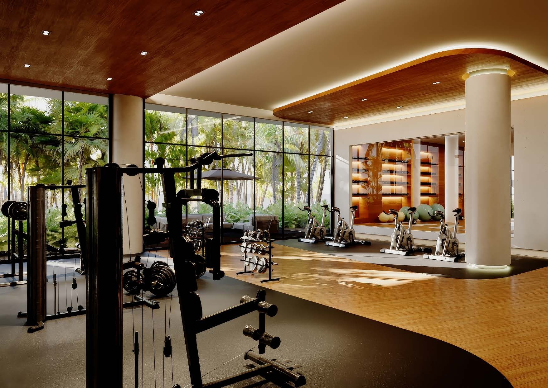
- How to stay trail-fit: Makai's amenities include a fitness centre and a padel court, and the beach is about 1,600 ft on foot.
- When can the plan start? Handover is planned in two phases, 2028 and 2029, which leaves time to try each of these outings on visits first.
Common questions
- Is there a hiking trail inside Cap Cana?
- Yes, a short one: the forest trail to the Hoyo Azul cenote, inside a paid park about 3.5 miles from Makai by road. It takes roughly half an hour on foot, past an orchid garden, to a spring-fed pool.
- Can you hike in Los Haitises National Park?
- Yes, usually as part of a guided day that pairs a boat ride through the mangroves with short walks to caves holding Indigenous rock art. The eastern gateway, Sabana de la Mar, is about 95 miles from Makai by road.
- How hard is the Fun Fun cave excursion?
- It is demanding: a river crossing on horseback, a rain-forest walk of about 1.2 miles, an abseil of about 59 ft and a cave tour of about 3 hours. One cave directory says participants should be fit and comfortable with heights and darkness.
- Do you need a guide to climb Pico Duarte?
- Trail guides say yes: the park does not admit hikers without a local guide, who usually arranges mules too. Most groups take 3 days from La Ciénaga, which is about 228 miles from Makai by road.
Want the details for your own situation?
Ask about availability, layouts or the buying process, and someone from the sales team will get back to you.
Get in touch